
Rain, And Wind, And Snow To Go
Tuesday March 11, 2025


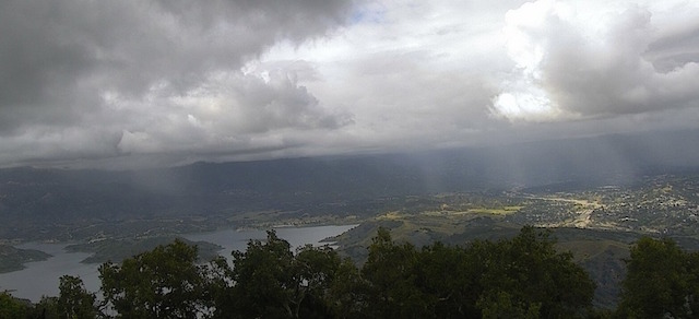
https://www.vcwatershed.net/fws/rain-map/#
Update--Tuesday's showers were just a small taste of what will be a "weather smorgasbord" cooked up by "Mother Nature" for Ventura County through Friday.
On and off scattered showers will continue but the main dish will be from Wednesday night into Thursday morning.
During that time we can expect rain, heavy at times, with a chance of thunderstorms.
It will also be very windy plus snow covering the county's northern mountains.
Total rainfall amounts from Tuesday through Friday will range from 1-2 inches along the coast and in the valleys with 2-4 inches on the foothills.
There will be snow in the northern mountains of Ventura County that will start out above 6500 feet and lower to 3000 by early Thursday.
Snowfall amounts will range from a couple of inches at the lower elevations to a foot at the higher elevations.
While the rain will create some street flooding, minor mud and rock slides, and some small debris flows in the wildfire burn scars, the wind will be toppling trees, shaking power lines, and generally tossing everything around that isn't nailed down.
A Flood Watch will be in effect for Ventura County from Wednesday evening through Thursday afternoon.
And there will be a Winter Storm Warning for the northern mountains of Ventura County from Wednesday afternoon through Saturday morning.
Meanwhile, here is a list of the rainfall totals from the showers that moved through Ventura County on Tuesday through 5 PM...
.VENTURA CO COASTAL
SILVERSTRAND BEACH................ 0.24
LA CONCHITA....................... 0.21
CAMARILLO (KCMA).................. 0.16
OXNARD - NWS...................... 0.14
OXNARD CIVIC CENTER............... 0.12
VENTURA........................... 0.10
SATICOY........................... 0.06
CSU CHANNEL ISLANDS............... 0.04
ANACAPA ISLAND.................... 0.03

.VTA CO CSTL VLYS
ROCKY PEAK........................ 0.39
MOORPARK.......................... 0.16
SOUTH MOUNTAIN.................... 0.14
SIMI VALLEY....................... 0.11
CIRCLE X RANCH.................... 0.08
DEALS FLAT........................ 0.07
NEWBURY PARK...................... 0.05
THOUSAND OAKS..................... 0.05
CHEESEBORO........................ 0.05
SYCAMORE CANYON DAM............... 0.04
MILLER RANCH...................... 0.03

.VTA CO INTER  VLYS
RED MOUNTAIN...................... 0.24
LAKE CASITAS...................... 0.23
PIRU.............................. 0.23
STATION CANYON.................... 0.20
NORTH FORK MATILIJA............... 0.13
LAKE PIRU......................... 0.11
STEWART CANYON.................... 0.08
SULPHUR MOUNTAIN.................. 0.08
HARMON CANYON..................... 0.08
SANTA PAULA....................... 0.06
FILLMORE.......................... 0.05

.VENTURA CO MTNS
OLD MAN MOUNTAIN.................. 0.32
NORDHOFF RIDGE.................... 0.28
LA GRANADA MOUNTAIN............... 0.24
MATILIJA CANYON................... 0.20
ORTEGA HILL....................... 0.20
MATILIJA DAM...................... 0.13
WHITE LEDGE PEAK.................. 0.12
ROSE VALLEY RAWS.................. 0.12
ROSE VALLEY....................... 0.08
CHUCHUPATE........................ 0.03
ALAMO MOUNTAIN.................... 0.03